
Often refered to as the "rice bowl of Asia" the central area has for many centuries been dominated by rice cultivation. Population density is high and almost all natural lowland habitats have long since been lost to agriculture. The Chao Phraya river and its tributaries run through the region and out into the Gulf to the south at Bangkok. This region suffers extensive flooding in most years. Links provided to a sharable Google Map and/or Google Earth map for localities and places throughout Thailand, and maintained by North Thailand Birding.
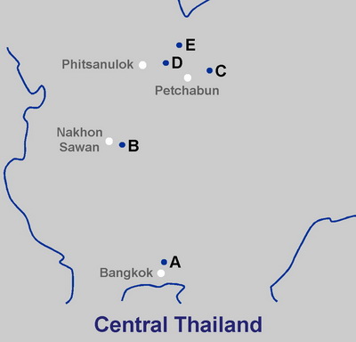 |
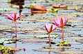
One of Thailand's most important wetland areas, Bueng Boraphet, is found just east of Nakhon Sawan. Some protected forests remain in the northeast of the region, and areas just south of Bangkok are good for waders and migrants. A. Wat Thien Tawai (not yet available) B. Bueng Boraphet. |